Land Survey & Mapping
As a result of rapid urbanisation, slum population in India is proliferating tremendously. Slum in general is a compact but crowded settlement of few households with poorly built temporary structures to dwell in; having inadequate facilities and unhygienic conditions. With a vision towards making the India slum-free, the Indian government has announced from time to time, various policies and regulations for the rehabilitation of these slums. As a first step towards implementation of these regulations, it is necessary to have these slum settlements analysed with spatial data.
Challenges
Carrying out survey of slum settlements deploying a manned team has always been a task like cracking a tough nut, as slums are generally gloomy with narrow passages and often with clogged sewage. Not only the geography but survey team may have to face stiff resistance from some hesitant dwellers and sometimes attracts allegations of favouritism too.
What Next
Drones equipped with camera and sensors if deployed to study the slum settlements, can carry the task in revolutionarily lesser time with more accuracy which otherwise would have taken months, if carried out by engaging a manned team.
Solution We Provide
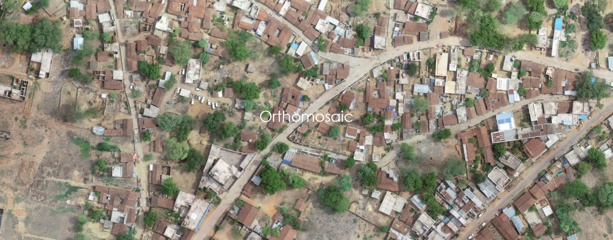
We deploy a fleet of drones to map around depending upon the numbers of slums to give faster and accurate results. We clearly identify boundaries with size of slums and blend that data with on-the-ground surveys carried out to identify families residing in the slums. Pictures captured during each drone flight are processed as orthophotos, which are aerial photographs that have been geometrically corrected so that they have a uniform scale and can be used like regular maps.
What We Deliver
- Orthomosaics of the entire road/railway network in Geotiff format in 2cm/pixel resolution
- Orthomosaics of individual slums in GeoTIFF format at 1cm/pixel accuracy
- Point clouds/3D Models with 2cm/pixel accuracy in Z direction for future infrastructure planning in that area
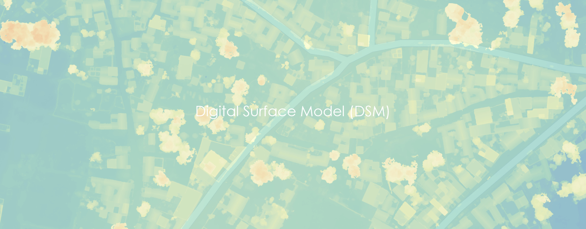
- Digital surface model with a cell size of 0.040m covering the entire slum area
- A quality report stating estimated accuracies and how quality assessment is done
Why We?
Our precision mapping techniques using drone help in identifying and creating an inhabitable environment
Our millimeter level mapping help administration to carve out space for amenities beyond just land
We excel in providing better granular data, especially in densely populated slums where boundaries are difficult to be identified


