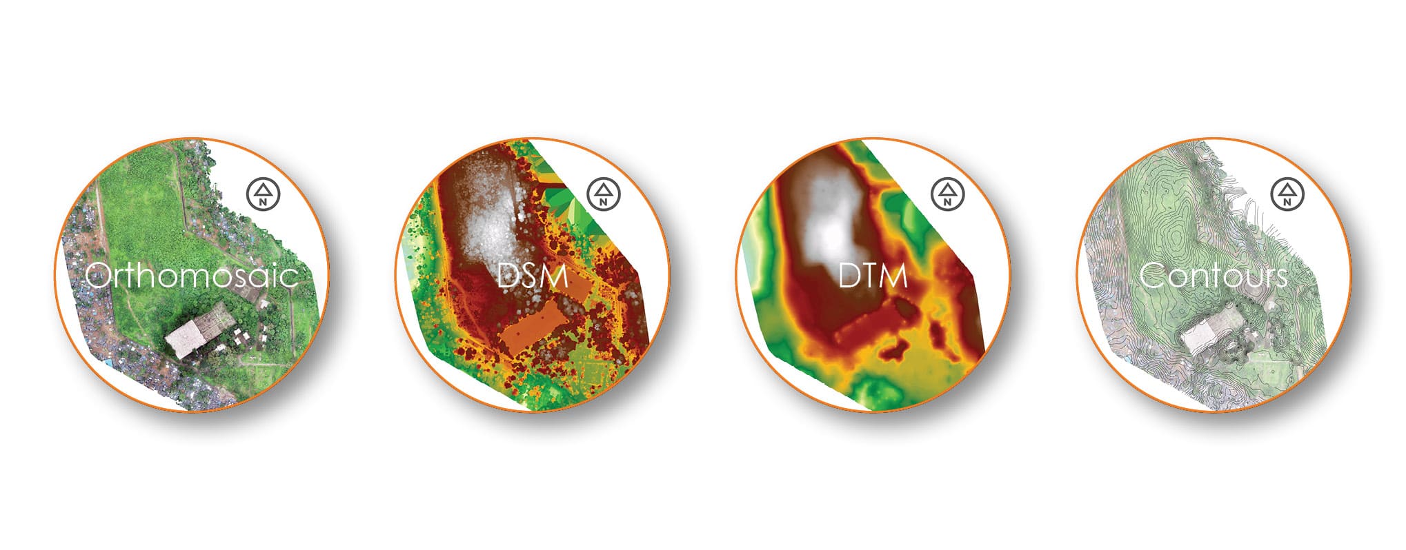
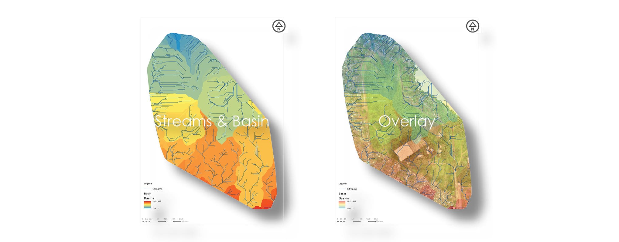
The images were captured in RGB bands. Orthomosaic, DTM (Digital Terrain Model) & DSM (Digital Surface Model) are generated with the help of image processing software with centimetre level accuracy. Further DTM & DSM are used generate contours and other analytical maps. Finally, overlay on Orthomosaic gives us a clear picture of the analysis of the site.
Overlay
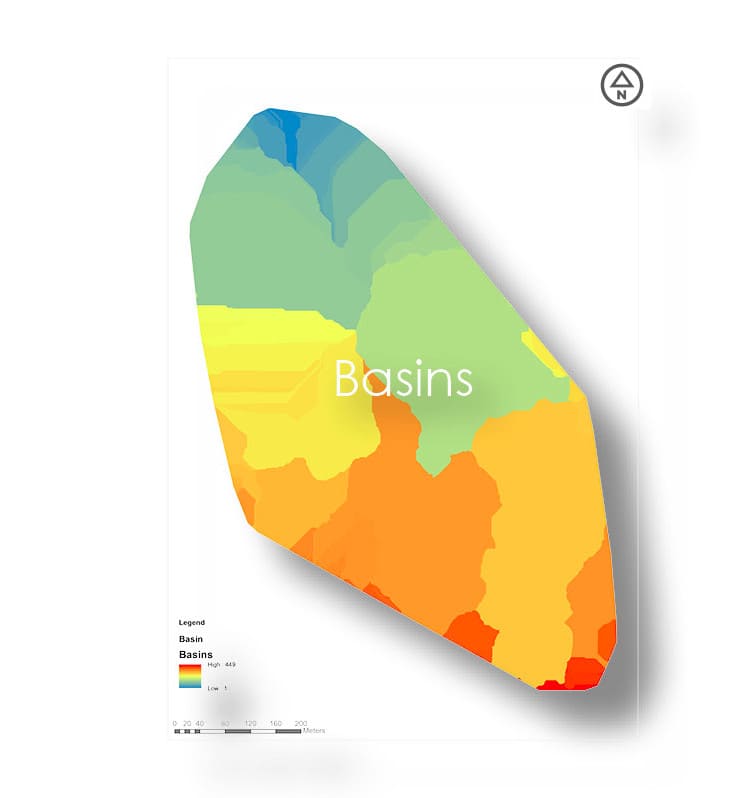
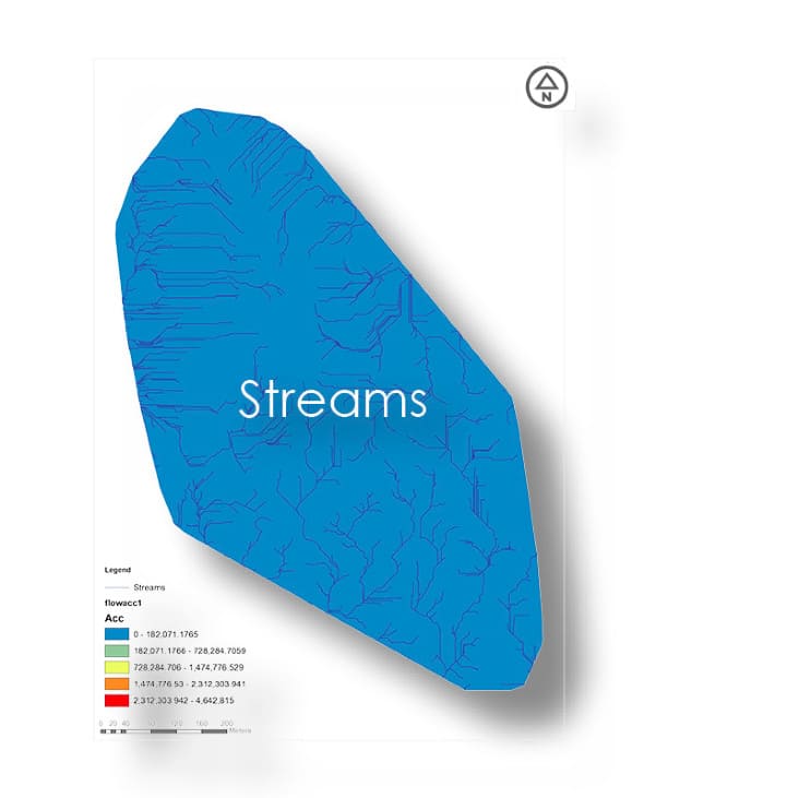
Flow Direction

Simulation-1
Simulation-2
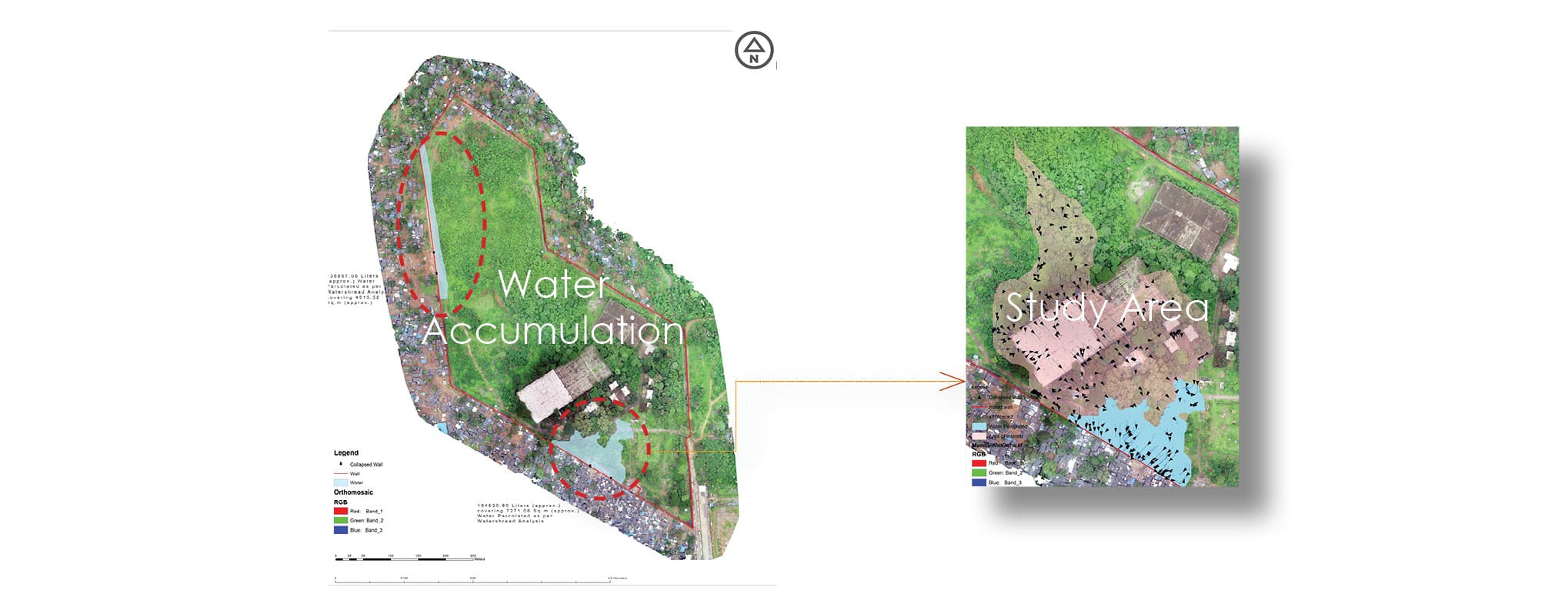
Water Accumulation